Kilborne Drive Streetscape
Announcement
June 16, 2025 - This project is substantially complete and being used by adjacent neighborhoods. Landscaping will be installed in the fall of 2025. The project's one-year warranty period is underway.
- Project typeNeighborhoods
- Project budget$5.7 million (includes all costs associated with the project such as planning and design, acquiring the right-of-way, utility relocation, consultant fees, construction, signalization, permits and landscaping)
- Project phaseLandscaping; Warranty

part of the Central/Albemarle/Shamrock Comprehensive Neighborhood Improvement Program
Project Overview
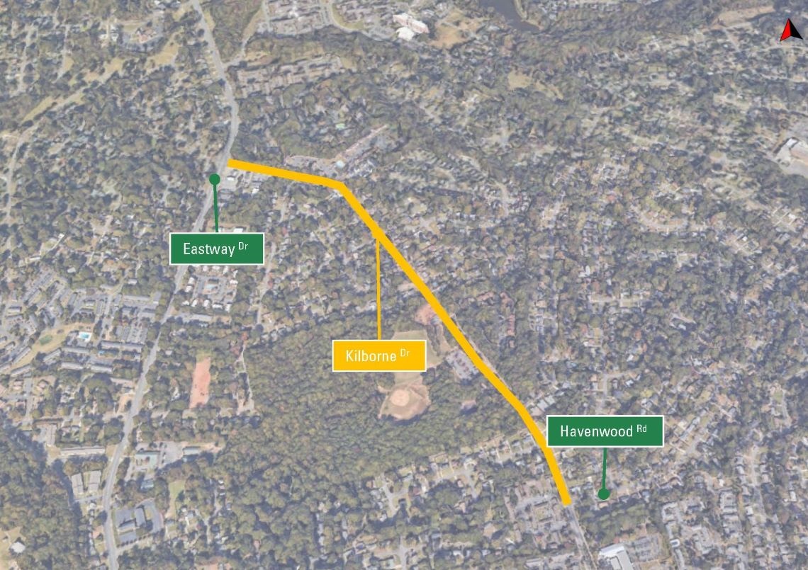
In November 2014, voters approved $20 million for the Comprehensive Neighborhood Improvement Program (CNIP). The Kilborne Drive streetscape project was selected as one of the projects to move forward under the Central/Albemarle/Shamrock CNIP. This project is one portion of the Old Potter Road Trail that was presented during the CNIP pre-planning phase. Project limits are from Eastway Drive to Havenwood Road. With additional improvements to create a more complete street, Kilborne will provide a critical connection between Central and Eastway, allowing better access to Kilborne Park and future access to the planned Briar Creek Greenway, where it will cross Eastway. The intent of the improvements will be to, where possible, construct new sidewalk, provide better pedestrian crossings, traffic calming, streetscape and landscaping.
Project Goals
-
To maintain, stabilize and revitalize the neighborhood through comprehensive infrastructure improvements
-
To strengthen the neighborhood and surrounding community
-
To better serve bicyclists, pedestrians, motorists and adjacent neighborhoods and businesses

Rendering of the roadway after project completion. For illustrative purposes only.
Public Involvement
A public meeting was held on Thursday, June 23, 2016 to kick off the design phase. Approximately 35 to 45 people attended. Attendees filled out a survey to get information on how they currently walk, bike, drive and use public transit in the area, as well as preferred locations for a crosswalk, bus stops, on-street parking and suggestions on improving the area. Staff led two walking tours of the area to solicit further input and explain the project's goals.
Another public meeting took place on April 16, 2017 to review the proposed design concept and solicit feedback.
Vicinity Map